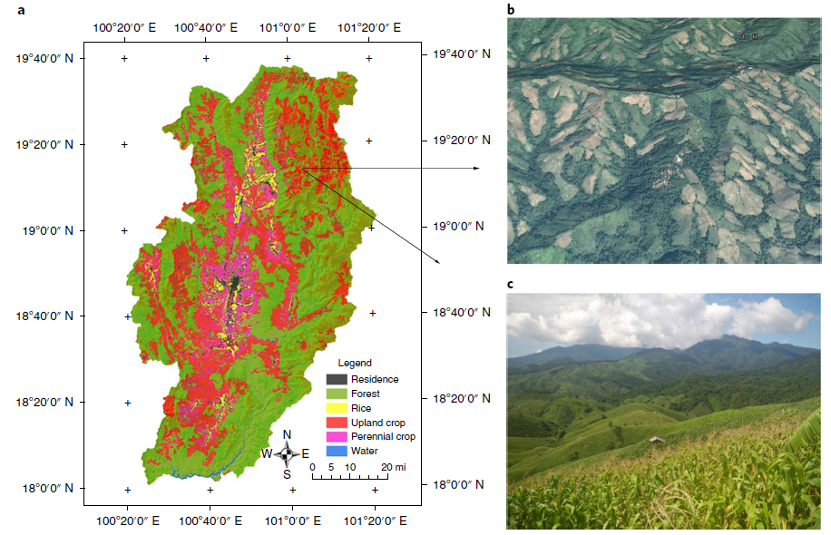
Abstract: "Researchers analyzed a suite of satellite imagery products and found much greater deforestation than expected since 2000 in the highlands of Southeast Asia. Much of the 82,000 square kilometers (31,700 square miles) they estimate to have been developed into croplands in the region’s highlands reflects previously undocumented conversion of forest, including primary and protected forests, to agriculture. Through a sample-based verification process, the authors found that 93 percent of the pixels from areas allocated to areas of net forest loss by the authors’ model were confirmed as net forest loss, and 99 percent of the pixels delineated as other areas were accurately labelled as non-net forest loss. The findings contrast with previous assumptions about land-cover trends currently used in projections of global climate change and future environmental conditions in Southeast Asia."
No comments:
Post a Comment